Updated February 2022. Originally written March 2014.
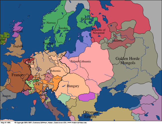
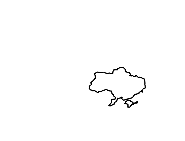
The land area of today's Ukraine, over the last several hundred years, has belonged to other major states in the region. Maps since 1400 are shown below, with the outline of modern Ukraine's boundaries superimposed. Click the buttons, or press the left and right arrows, to go through the maps. It may initially respond slowly as the maps are loading.
Year: 1400 Show modern Ukraine
These wonderful maps are from the Centennia Historical Atlas.
The countries include, in approximate order of the first year when they comprise a signifcant portion of the area (according to these maps):
Other references: Washington Post (Mar 2015), National Geographic (2014), and History of Ukraine on Wikipedia. The selection of dates and map images are from this now-defunct Talking Points Memo article. The boundaries of modern Ukraine were obtained by manually editing image files, so apologies for inaccuracies.
Originally made March 2014 by Brendan O'Connor, updated Feb 2022.